Crop monitoring
Satellite eyes on every field
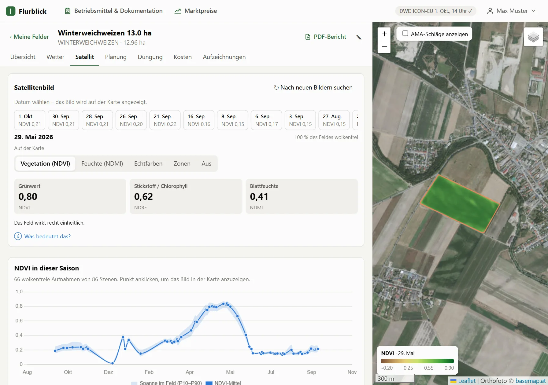
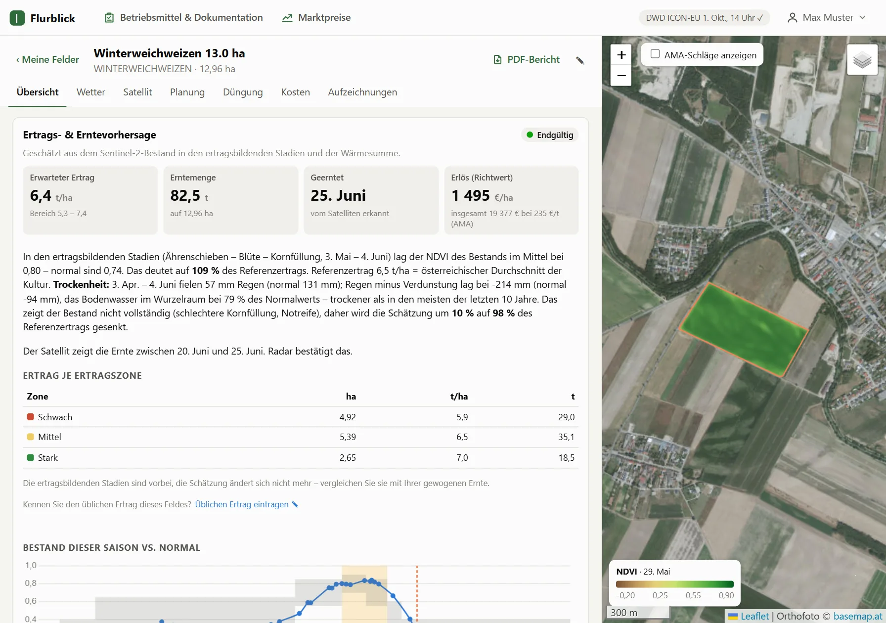
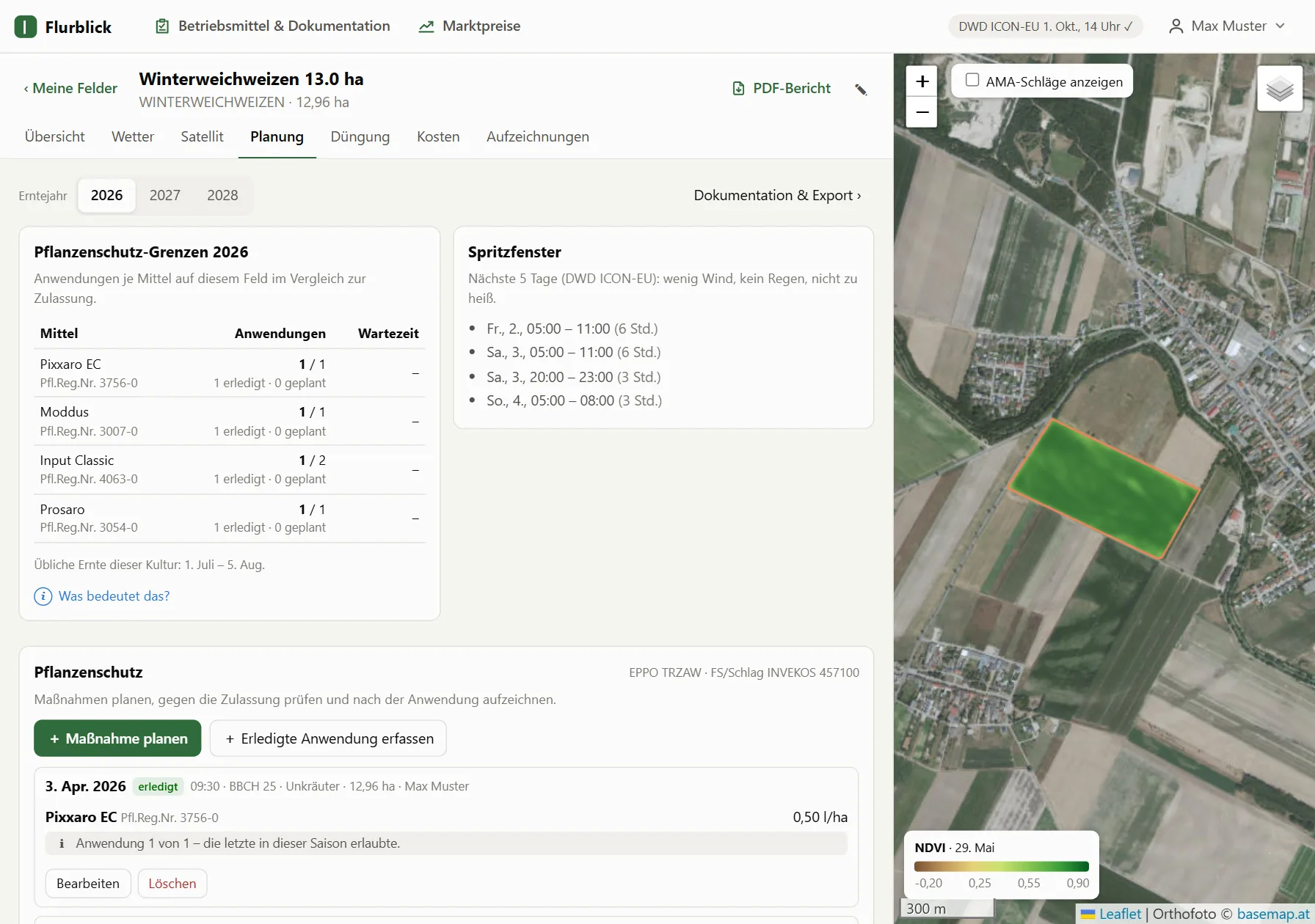
Every clear Sentinel‑2 image is analysed for your field boundary only. You see at a glance whether the crop is where it should be for its growth stage – and where it is not.
- Greenness (NDVI), nitrogen (NDRE) and leaf moisture (NDMI) as map layers
- Season curve compared with the normal range for the crop
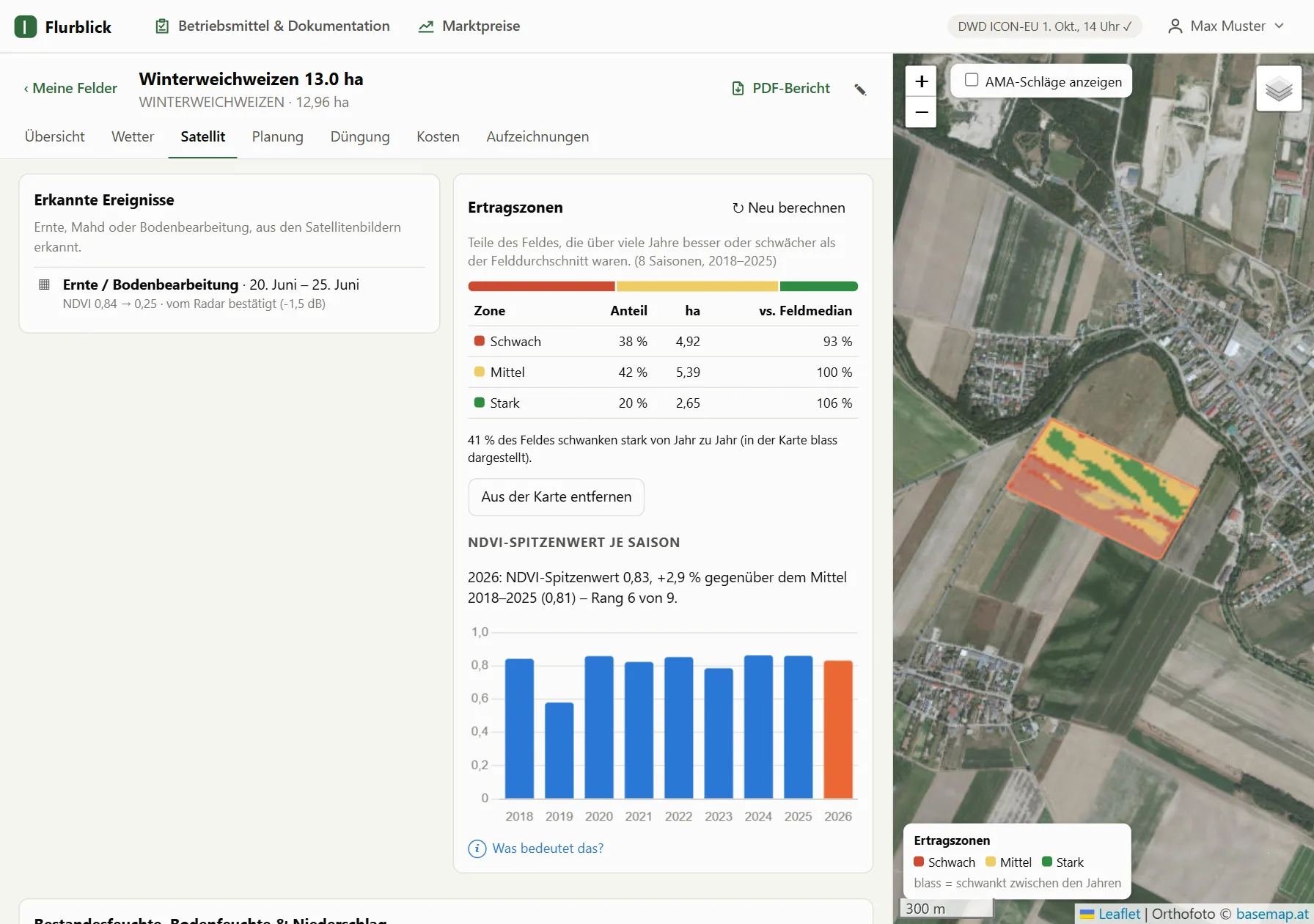
- Weak spots, harvest, mowing and tillage detected automatically – confirmed by radar through clouds